Showing posts with label arrowood drain. Show all posts

Wednesday, June 17, 2015

Traver Creek and High Rains

The Traver Creek Project was started back in 2012 with multiple goals in mind. One of these was allowing Traver Creek to take high amounts of precipitation and slow down the time it takes for the water to reach the Huron River. This helps to alleviate flooding and allows some of the sediment to drop out. With almost 3 inches of rain in the past two days, we got a chance to compare how the creek handles high rain events. The following pictures compare current water levels with a storm that happened May 25-26, 2011, when 3.25 inches of rain fell and Nov 22nd, 2011 when 1.75 inches fell.

The bridge near #10 green in May 2011.

The same bridge in 2015.


#10 green (Nov 2011)

#10 green (2015)


Traver Creek from #13 green (Nov 2011)

Traver Creek in 2015.


#11 fairway in Nov 2011 (Now the location of the Arrowood Branch)

The Arrowood Branch in 2015 (Looking in the other direction.
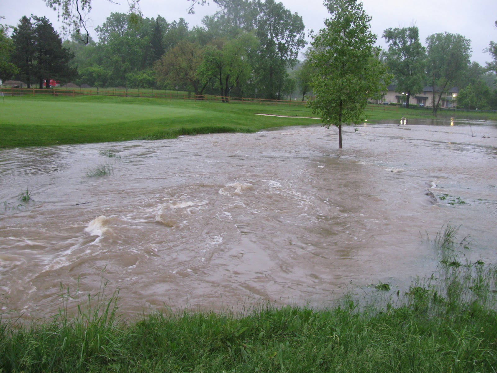

#12 Green (May 2011)

#12 green (2015)


#12 green (May 2011)

#12 green and created wetland (2015)


Bridge to #18 (May 2011)

Bridge to #18 (2015)


#10 Tee (May 2011)

#10 Tee (2015)


Tuesday, January 8, 2013

Traver Creek Project Update #7


After taking some time off at the end of the year, progress has been steady on the Traver Creek project. Unfortunately, snow has fallen and pictures do not come out well in snowy conditions.

Here are some.

On the bridge between #12 green and #13 tee, looking toward #11 green.

Same bridge, looking toward the practice green.

#13 tee.

New crossing over the Arrowood drain, looking toward #11 fairway.

Same crossing, looking back toward #11 tee.

Wetland between #11 green and #12 green after seeding. Taken from the bridge near #12 tee.

Same view,  looking toward #13 tee.


This video was taken from #13 tee. It shows three excavators working on the creek and wetland.